
Search results: 2296
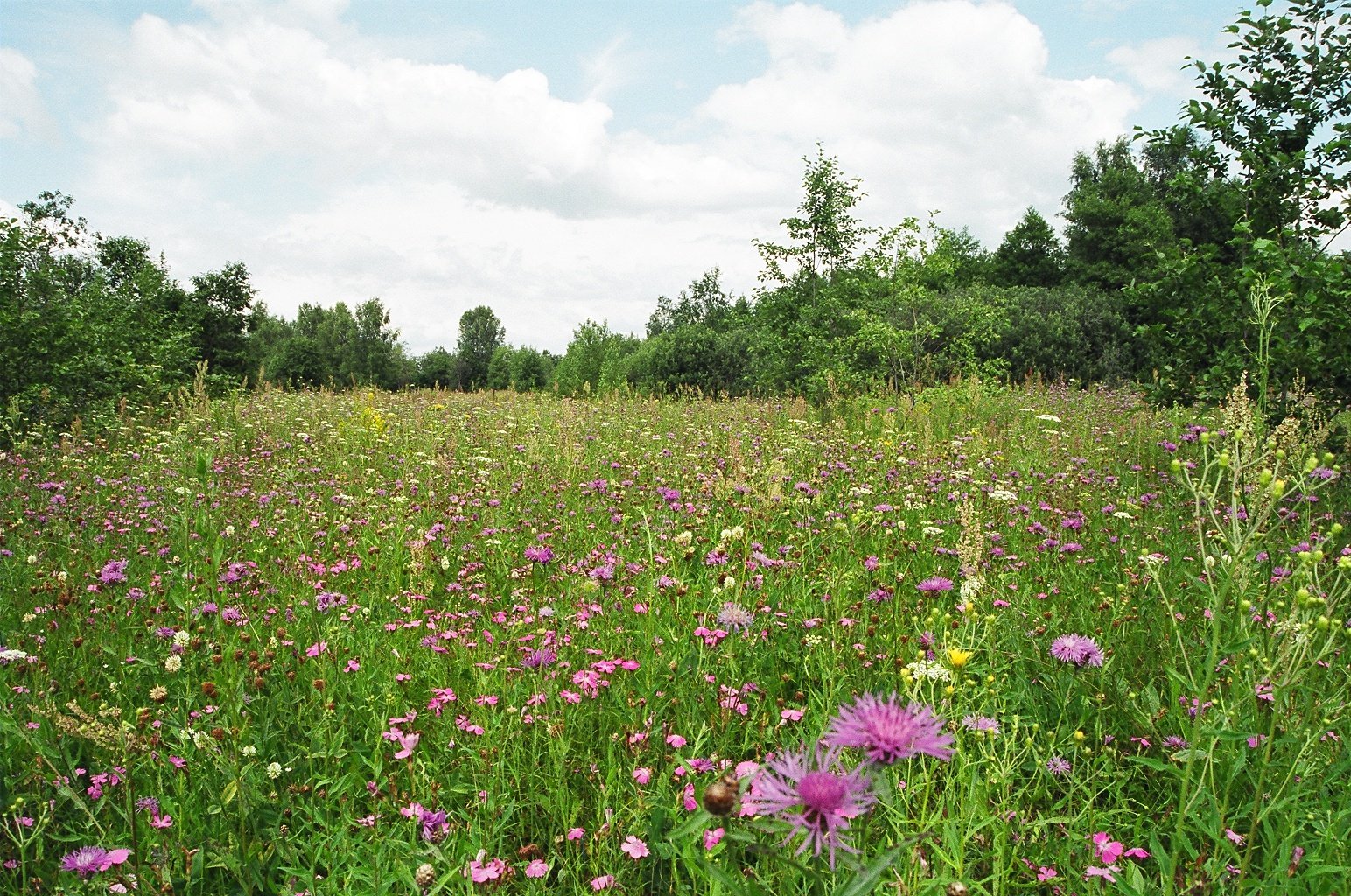
GEO4008M-2021-22-SEM2-A GEO4008M | Nature Conservation | 2021-22 SEM2 (Group A)
- Enrolled students: 2
GEO4008M-2022-23-SEM2-A GEO4008M | Nature Conservation | 2022-23 SEM2 (Group A)
- Enrolled students: 13
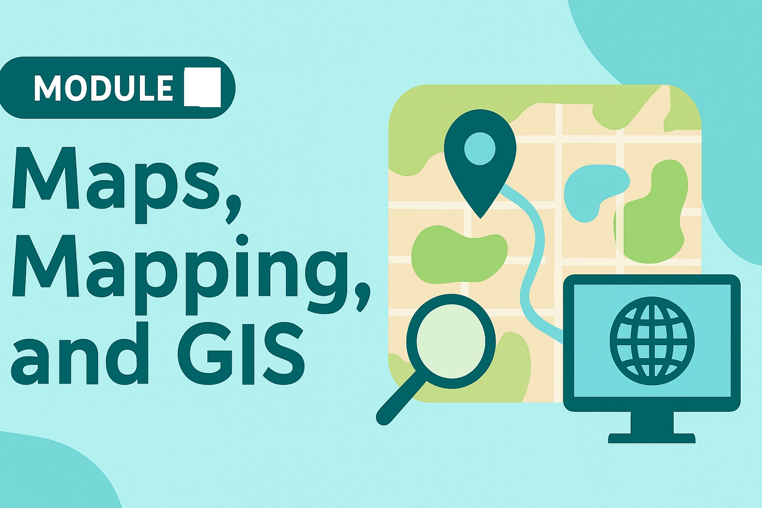
GEO4015M-2024-25-SEM1-A GEO4015M | Maps, Mapping and GIS | 2024-25 SEM1
This module (20 credit) aims to develop students’ understanding of maps as socially constructed forms of knowledge, alongside introducing the key features of cartographic design and map production. A major emphasis of this module lies in building a solid foundation in the core principles and practices of Geographical Information Systems (GIS). Working with primary and secondary data, students will develop skills in digital mapping and visualisation in a GIS environment. Students will draw on and synthesise evidence of change from a variety of sources.
Learning Outcomes:
Upon successful completion of the module students will be able to:
Discuss the implications of different ways of representing societies and environments.
Display, process, and analyse spatial data following principles of cartography.
- Work both independently and collaboratively with others.
- Enrolled students: 40
GEO4018M-2023-24-SEM2-A GEO4018M | Environmental Geography Concepts and Practice | 2023-24 SEM2 (Group A)
- Enrolled students: 38

GEO4018M-2024-25-SEM2-A GEO4018M | Environmental Geography Concepts and Practice | 2024-25 SEM2 (Group A)
- Enrolled students: 40

GEO4018M-2025-26-SEM2-A GEO4018M | Environmental Geography Concepts and Practice | 2025-26 SEM2 (Group A)
- Enrolled students: 40
GEO5008M-2021-22-SEM2-A GEO5008M | Geographers' Professional Practice | 2021-22 SEM2 (Group A)
- Enrolled students: 1

GEO5008M-2022-23-SEM2-A GEO5008M | Geographers' Professional Practice | 2022-23 SEM2 (Group A)
- Enrolled students: 5

GEO5008M-2023-24-SEM2-A GEO5008M | Geographers' Professional Practice | 2023-24 SEM2 (Group A)
- Enrolled students: 39

GEO5018M-2024-25-SEM2-A GEO5018M | Research Project | 2024-25 SEM2 (Group A)
- Enrolled students: 36